Tree and Vegetation Surveys
Expert flora identification, classification, and assessment to inform your projects.
Tree and vegetation classification underpin municipal natural heritage planning, private land development, and conservation. From site-scale characterizations to landscape-scale studies, we deliver clear analysis of terrestrial and wetland systems.

Refined methods for accurate survey results
Over the last 30 years we have refined our protocols and scientific methodology for tree and vegetation surveys, including:
- Orthophotography analysis
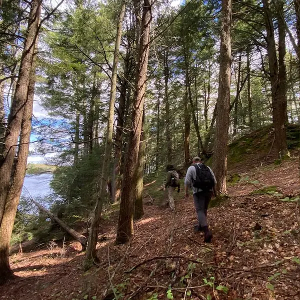
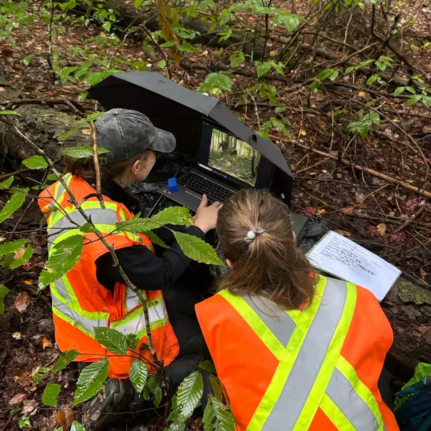
- Field surveys to determine plant species, classify vegetation communities, and delineate their boundaries
- Refining species lists
- Mapping vegetation communities using ArcGIS
- Review of relevant policy documents to determine opportunities and constraints

Our integrated team offers a diversity of specialized services including:
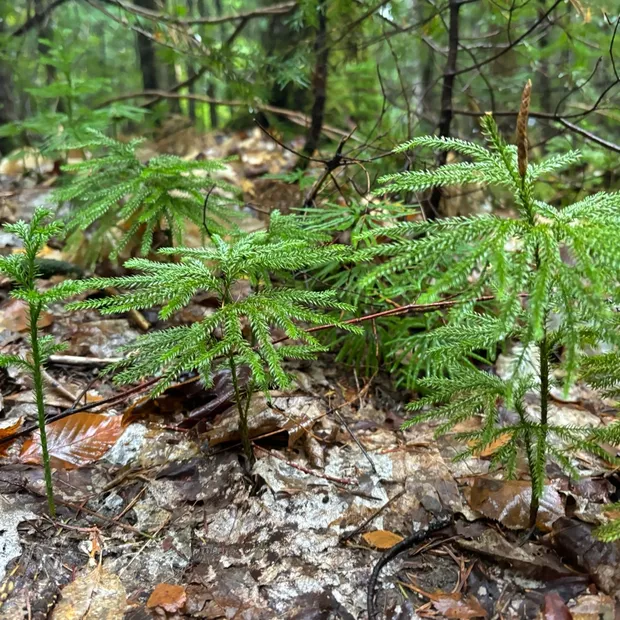
- Botanical surveys
- Ecological Land Classification (ELC)
- Wetland evaluation and delineation (using the Ontario Wetland Evaluation System)
- Tree health and risk assessments (including Butternut Health Assessments)
- Arborist surveys
- Conservation and species at risk (SAR) assessments

We champion multi-dimensional assessments of the ecology of each place.
Whether independently required or as part of a larger project, we also offer diverse environmental assessments, management and stewardship plans, natural heritage system studies, and support for conservation, transportation and urban forestry projects.

Frequently asked questions about tree and vegetation surveys
Ecological Land Classification (ELC) and vegetation surveys are essential tools for environmental planning and natural heritage assessments. They provide a comprehensive inventory of vegetation communities and plant species across a site. These surveys assess species abundance, identify Species-at-Risk (SAR), and flag locally, provincially, or federally significant vegetation that should be protected from development impacts. The data informs mitigation, restoration, and climate adaptation strategies and supports EIS and other regulatory submissions.
Ecological Land Classification (ELC) is a standardized framework developed by Ontario’s MNRF for categorizing natural communities. It divides landscapes into “ecotypes” based on vegetation, soils, moisture, and topography. This system is recognized across Ontario and forms a foundation for consulting work involving EIS, restoration, and natural heritage planning. ELC supports efficient and tailored ecological evaluations, guiding conservation and restoration priorities and helping define target communities for long-term biodiversity goals.
An ELC classifies ecosystems by community types, such as forests, meadows, or swamps, based on their overall composition, including trees, shrubs, and groundcover. A tree inventory, by contrast, evaluates individual trees, often for urban forestry or arborist assessments. Both tools offer complementary solutions for land-use planning, providing information on ecological value, habitat continuity, and urban forest health. They are frequently used together during EIS, site plan applications, or commercial development assessments.
Ecologists are central to sustainable planning and act as consultants to balance development with nature conservation. They assess natural features, identify environmental constraints, and design tailored mitigation or restoration strategies. Whether for residential, commercial, or industrial projects, ecologists ensure that planning incorporates ecological values, supports biodiversity, and complies with policy frameworks like the PPS and EIS requirements.
OWES is a recognized, standardized methodology for evaluating the significance of wetlands in Ontario. Wetlands may be classified as Provincially Significant (PSWs), which directly affects the level of protection and buffers required under planning policies. OWES is used when unevaluated wetlands are present on or near proposed development sites. Findings are often key inputs in EIS reports for residential, mining, commercial, or industrial development.
GIS and mapping are fundamental to ELC and vegetation assessments. High-resolution orthophotography and LiDAR data help delineate ecological boundaries and interpret landform and vegetation patterns when field access is limited. This remote sensing approach increases efficiency and accuracy, especially in large or inaccessible landscapes. Our GIS analysts use platforms like ArcGIS to digitize ELC communities and support spatial analysis for restoration, EIS, and long-term climate adaptation planning.
Vegetation surveys are most effective during spring, summer, and early fall, when plant identification is optimal. While some woody species can be identified in winter, most groundcover and herbaceous species cannot. For thorough environmental assessment and successful data collection, surveys are often conducted across multiple growing seasons. This approach is especially important for EIS documentation and tailored ecological management plans.
Yes. Dougan Ecology provides follow-up monitoring for both vegetation and ELC communities. These surveys track natural succession, restoration progress, or responses to disturbance over time. Monitoring can be tailored to project timelines and budgets, supporting adaptive management and long-term environmental health goals. This is especially valuable for restoration, offsetting programs, or as a requirement under an EIS.
