Opportunity and Constraint Screening
We assess ecological features and functions, and related environmental policy, so you can discover the potential of a site for development, and for ecological restoration.
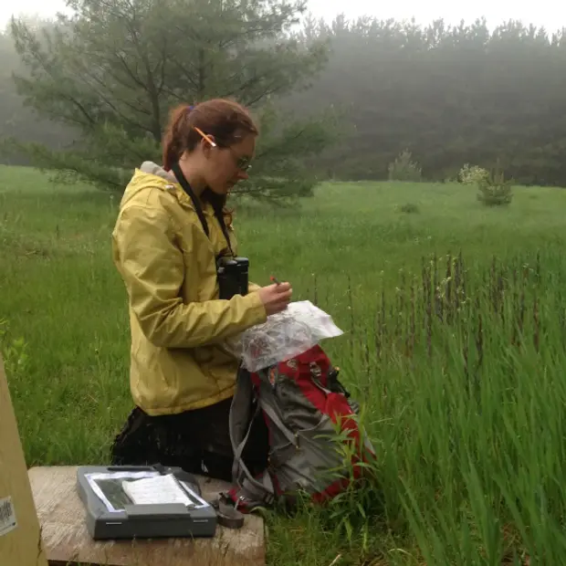
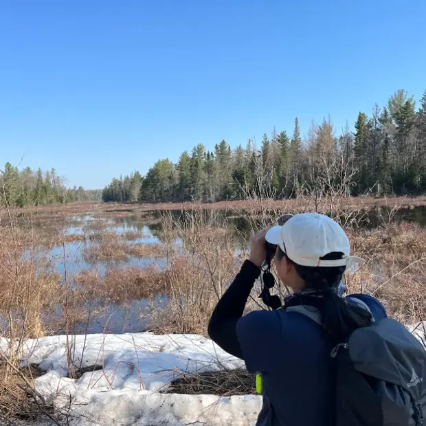
Through desktop assessments and fieldwork, we review development constraints related to policy, features and species. At the same time, we identify opportunities to enhance, or create, natural heritage assets.

Go forward with your eyes open
Our assessments include site visits, air photo interpretation and other desktop analysis. Our investigation includes:
- Summary of ecological data available in online databases, including consolidation of information from the Natural Heritage Information Center (NHIC)
- Federal, provincial and local policy review regarding relevant features
- Review of previous surveys or reports
- Screening for species at risk
- Determination of significant wildlife habitat
- Targeted field assessments (plant and wildlife surveys), as needed
Following assessment, we create a brief report documenting significant findings and their implications for development, including required buffers, potential developable envelope, and areas that could be targeted for enhancement.
Find out what opportunities and constraints exist on a site before purchase, supplement an Environmental Impact Study, restoration or design plan, or find out ahead of time how to avoid features that could delay approvals during site development planning.
Our integrated team and cutting edge GIS tools provide timely, thorough results to keep your project moving.

Take advantage of multi-dimensional assessments for successful projects
Dougan Ecology offers a range of customizable ecological services to help you realize the ecological potential of every place. Get in touch for opportunity and constraint screenings and more.

Frequently asked questions about opportunity and constraint screening
Opportunity and constraint screening is a recognized step in environmental consulting that identifies ecological, regulatory, and design opportunities and limitations early in a development planning process. This tailored screening process uses mapping to identify features like core natural heritage policy areas, wetlands, woodlands, species-at-risk habitat, significant wildlife habitat, and land-use designations to guide informed land development and conservation planning. It supports clients in avoiding costly delays by aligning with municipal, provincial, and federal environmental and natural heritage regulations from the outset.
SAR screening is important for avoiding delays and additional costs in a project by identifying potential legal and ecological considerations up front. Species at risk screening ensures that sensitive habitats and protected species are considered under policies like the Species at Risk Act (SARA) and Ontario Endangered Species Act (ESA). Identifying risks early allows for more efficient, legally compliant, and successful development planning that incorporates long-term biodiversity protection.
Opportunity and constraints should be identified as early as possible in a development project, ideally pre-purchase or pre-design. Conducting the screening during the due diligence phase helps avoid acquiring unsuitable land and provides baseline ecological intelligence for planners, engineers, and developers. Early screening enables efficient design, permitting, and community engagement. By working with the existing landscape, instead of against it, we help realize the nature-based potential of every site and support long-term climate adaptation and resilience.
Public mapping, species records, and field data form the foundation for initial constraint assessments. Dougan Ecology uses the Provincial Natural Heritage Information Centre (NHIC) records, aerial imagery, LIO datasets, Official Plans, Conservation Authority regulations, and species-at-risk databases. Site visits and desktop GIS analysis combine to produce actionable, site-specific mapping and reporting, aligned with regulatory frameworks and EIS triggers.
All environmentally sensitive or regulated features within the subject property and adjacent 120 m will typically be included. Constraint maps highlight floodplains, wetlands, wildlife corridors, valleylands, forests, Areas of Natural and Scientific Interest (ANSI) boundaries, habitat linkages, local natural heritage systems, and known or potential Significant Wildlife Habitat. They also flag buffers and setbacks required by policy, facilitating development aligned with environmental policies and identifying needs for an EIS.
Species-at-risk (SAR) and their habitat can significantly influence land use planning, Including in industrial, mining, or residential development contexts. Their presence may restrict what can be built and where, due to legal and environmental constraints. Depending on the species, the presence or potential presence of SAR triggers federal and/or provincial oversight under the Species at Risk Act (SARA) or Endangered Species Act (ESA). Development may require mitigation, redesign, or be prohibited in core habitats.
Constraint screening is a consulting tool used in early planning to identify developable areas and potential EIS triggers. It offers a high-level overview of environmental factors and planning constraints.
An EIS is a detailed, regulatory document that addresses potential impacts to regulated environmental and natural heritage features. It includes field surveys, impact assessments, mitigation strategies, and often enhancement plans. It’s typically a requirement under municipal and provincial development approvals.
SARA protects listed species and their habitats across Canada. The Species at Risk Act mandates recovery planning and prohibits the harm, harassment, or destruction of federally listed species or their habitat. Early screening and consulting help developers avoid federal violations by flagging potential conflicts and identifying proactive solutions that support both development and biodiversity protection.
