Cartography and Mapping
Get tailored geographic solutions for diverse projects.
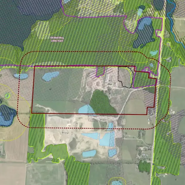
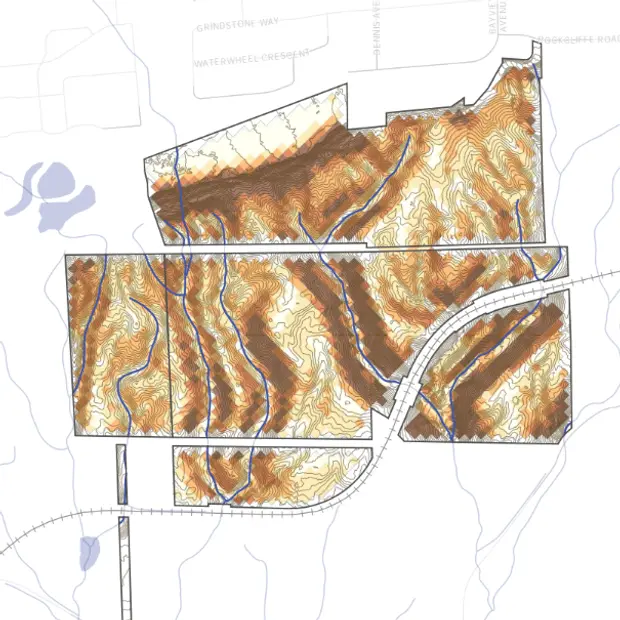
At Dougan, data analysis meets cartography expertise to bring spatial information to life. High-accuracy, personalized, geographic visuals offer insight and inspiration for better decision making.
While there are mapping components to almost every project we work on, we also offer stand-alone custom map design services.

Leveraging the art and science of cartography for data analysis
We use extensive databases and data collection tools (ArcGIS Survey123, Trimble Catalyst with RTX subscription, and ArcGIS FieldMaps) to create high-accuracy geospatial data. Then, we combine field data, orthophotos, digital elevation data, and other sources, to create the geospatial products you need.
We take pride in our reputation for delivering the highest quality products with thorough attention to detail. We value creating maps that are accurate, informative, highly-functional, and artistic.

Maps can help tackle big challenges… So can we!
As a team of GIS experts, landscape designers, ecologists, and project managers, you can count on us for custom maps, and diverse solutions to create thriving places.

