Aquatic Habitat Surveys
Our team specializes in comprehensive aquatic ecosystem assessments, utilizing advanced scientific methods to support conservation and resource management. We provide expert services tailored to meet regulatory requirements and project-specific needs.

Environmental DNA Aquatic species inventory for your projects
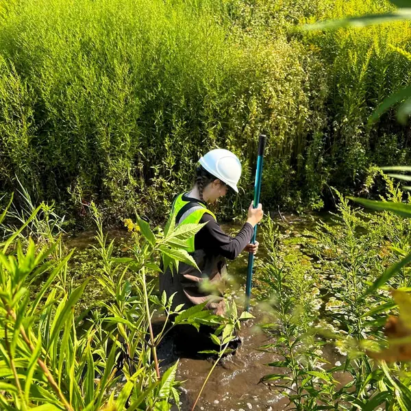
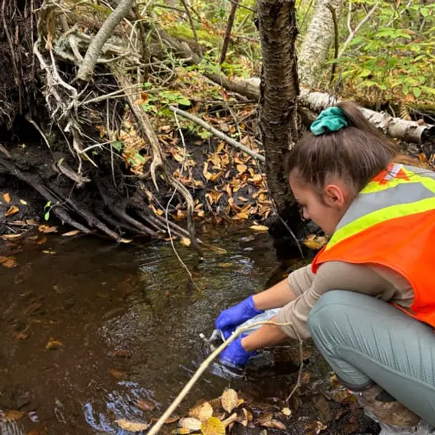
Environmental DNA (eDNA) sampling allows for non-invasive detection of aquatic species, providing critical data for biodiversity monitoring, invasive species management, and habitat assessments. Using eDNA to identify benthic invertebrates is more economic and efficient than traditional, manual identification of organisms.
Field data collection follows Ontario Benthos Biomonitoring Network (OBBN) protocols, ensuring precise collection, analysis, and interpretation of results.
Dougan has successfully implemented monitoring of aquatic benthic invertebrates using eDNA in collaboration with the University of Guelph’s Centre for Biodiversity Genomics (CBG) at a long-term monitoring program in the City of Waterloo as well as other inventory and monitoring projects.

Our team and our supporting sub-consultants offer senior-level expertise for complex aquatic habitat assessments. With years of experience in ecological research and environmental management, we provide strategic guidance, peer review, and advanced data analysis to ensure high-quality assessments and informed decision-making.
Contact us today to see how we can help support your projects with aquatic eDNA inventories.

Frequently Asked Questions
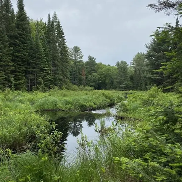
An aquatic habitat survey is a systematic assessment of water-dependent ecosystems, used in environmental consulting to evaluate stream banks, riffles, pools, aquatic vegetation, and substrate to understand habitat quality and function.
Dougan’s team of ecological consultants uses field techniques consistent with Ontario’s recognized guidelines, such as the Ontario Benthic Biomonitoring Network (OBBN) and Ontario Stream Assessment Protocol (OSAP), to inform watershed planning, fish habitat assessment, tailored restoration projects, and development approvals. These surveys support evidence-based solutions that promote aquatic biodiversity and ecosystem resilience.
The Fisheries Act prohibits the harmful alteration, disruption, or destruction (HADD) of fish habitat.
Aquatic habitat assessments identify fish spawning and rearing zones through detailed, site-specific evaluations. These insights help proponents, whether in residential, industrial, or mining sectors, develop avoidance or mitigation strategies that ensure compliance with federal regulations while supporting aquatic biodiversity and long-term ecological health.
OSAP is a recognized provincial standard for evaluating stream health.
It provides a framework for rapid, efficient assessments of stream conditions, using hydraulic, physical, and biological parameters. OSAP data supports tailored planning, restoration, and regulatory compliance across Ontario’s diverse watersheds.
Aquatic habitat surveys are typically required before development projects that may impact watercourses, ponds, or wetlands.
This includes projects involving stream crossings, shoreline alteration, stormwater discharge, or habitat restoration, especially within regulated areas or when a full Environmental Impact Statement (EIS) may be triggered. Surveys help determine baseline conditions, assess potential impacts, and support permit applications.
Aquatic surveys generate environmental baseline data used to model ecological connectivity, water quality impacts, and fish passage barriers.
This data is critical for integrated watershed management, guiding stormwater infrastructure design, urban planning, and climate adaptation strategies. These surveys help build nature-based solutions that contribute to healthier and more resilient aquatic systems.
Yes. Aquatic habitat surveys can detect invasive fish, invertebrates, and plants such as Eurasian Watermilfoil, Round Goby, and Zebra Mussels.
Early detection supports proactive solutions to prevent further spread and helps meet regulatory requirements, especially in projects involving shoreline development, industrial water use, or mining operations.
Surveys provide the foundation for tailored restoration plans by identifying degraded stream banks, sedimentation zones, and aquatic vegetation loss.
These findings support the design of successful restoration strategies such as riffle enhancement, riparian planting, and bank stabilization. Aquatic surveys help prioritize actions that align with both regulatory requirements and nature-based planning goals.
A hydraulic habitat unit is a stream segment with similar hydraulic characteristics, such as depth, velocity, and substrate.
Units like riffles, runs, and pools are analyzed to assess fish habitat suitability and inform biodiversity-focused restoration plans. Understanding these units is essential for modeling species preferences and stream functionality.
Costs vary based on site complexity, field effort, timing, and deliverables (e.g., GIS mapping, restoration recommendations, or EIS integration).
Projects with sensitive features or larger geographic scopes, like those in mining or industrial sectors, may require more intensive assessments. Dougan Ecology provides tailored pricing based on your specific project needs.
Yes. Aquatic surveys are a key component of Environmental Impact Statements (EIS) when projects are proposed near or within aquatic systems.
They provide baseline ecological data, identify potential impacts to fish habitat and water quality, and inform successful mitigation strategies. This process supports compliance with federal and provincial regulations.
Aquatic surveys delineate sensitive ecological zones such as littoral areas, riparian buffers, and fish spawning sites.
These data inform efficient, low-impact designs, setbacks, and stormwater strategies that comply with environmental regulations. Surveys support shoreline protection and the integration of nature-based solutions into development planning.
Watershed mapping involves identifying drainage patterns, ecological linkages, and hydrological divides across a landscape.
Data from aquatic surveys feeds into watershed mapping, helping define sub-watersheds and highlight areas of concern. This supports consulting services related to land use planning, water management, and cumulative effects assessment.
Aquatic habitat surveys should be conducted by experienced environmental consultants, such as those at Dougan Ecology, who specialize in aquatic systems.
Surveys require technical tools, analytical software, ecological expertise, and knowledge of local conditions. Dougan offers recognized, science-based aquatic habitat assessments across a wide range of sectors, including residential, commercial, and mining developments.
