Application Development
Streamline geospatial workflows with custom forms and applications.
No in-house GIS support? No problem! We are your GIS-specialty team, ready to create custom solutions for collecting and visualizing geospatial data.

Decades of creating GIS solutions
At Dougan Ecology, we have been using GIS since its inception. As a result, our GIS experts are well versed in creating efficient systems for data collection and analysis.
We consult with clients to understand their needs and create workflow solutions. We can setup the following customizable solutions:
- ArcGIS Survey123 or FieldMap forms for mobile data collection
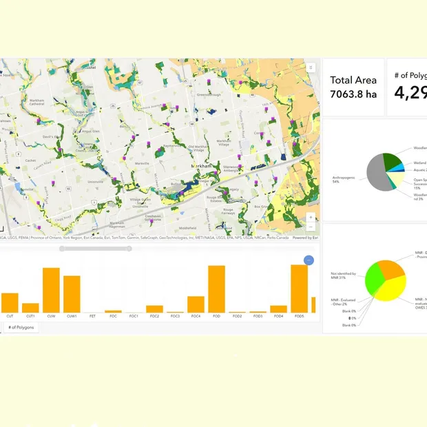
- Esri interactive online mapping dashboards and experiences builders
- Solutions for viewing and analyzing data, including for quality assurance and quality control
We collaborate with users to test and adapt the product until it works perfectly for your team. We offer training and additional support for integration of applications into existing workflows.
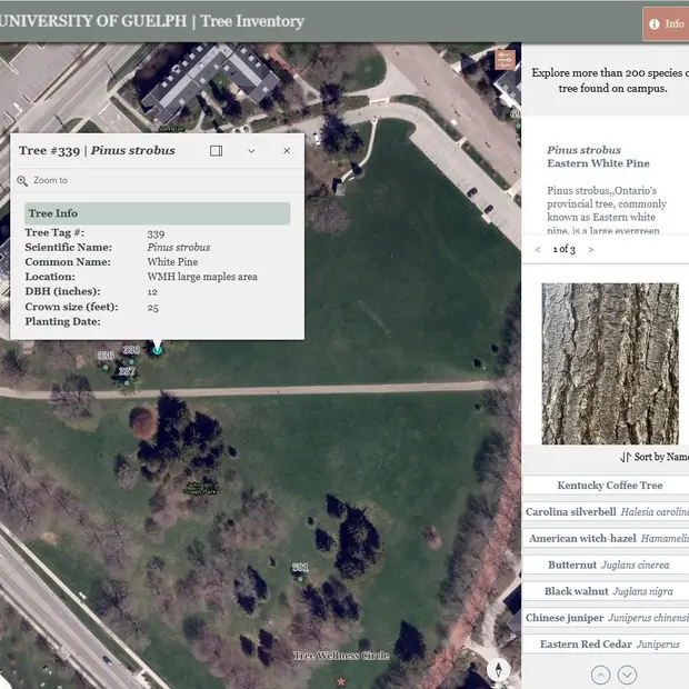
Satisfied customers include the University of Guelph arboretum and the Bagidawaad Alliance.

Be empowered with easier data visualization.
As experts in GIS, ecology and landscape design, we know the importance of efficient, accurate data collection. We are here to get behind your project through application development, and more.

Frequently asked questions about cartographic or ecological app development
Dougan Ecology specializes in creating custom GIS applications tailored to ecological, environmental, and land-use planning needs. Our services support efficient data collection, visualization, and analysis for EIS, natural heritage, restoration, and monitoring projects. This includes mobile field data collection tools using ArcGIS Survey123 and Field Maps, interactive online mapping dashboards, and cloud-based solutions for ecological data management and quality control. Applications are designed to be efficient, scalable, and adaptable to various sectors, including residential, commercial, industrial, and mining.
Interactive mapping dashboards provide dynamic visualizations of spatial data, helping users analyze patterns and make evidence-based decisions. Dougan Ecology develops dashboards that support environmental planning, EIS reporting, habitat mapping, and biodiversity monitoring. These tools improve data transparency, stakeholder communication, and collaborative project outcomes.
Dougan Ecology provides comprehensive training for all GIS applications, ensuring users understand platform capabilities, best practices, and field protocols. Our team offers personalized onboarding and responsive support to help clients implement and maintain their tools successfully. Training is often provided as part of our ecological consulting services, ensuring that users, from field technicians to planners, can apply the applications effectively in environmental, EIS, or climate adaptation contexts.
