Muskoka Natural Capital Inventory
Muskoka, Ontario


Project Overview
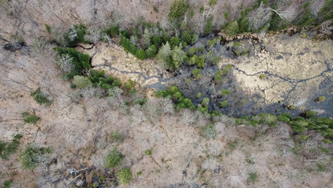
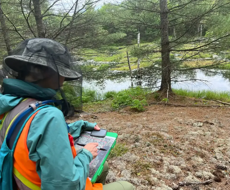
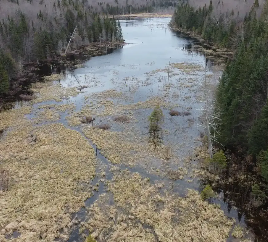
The District of Muskoka launched a transformative watershed-wide project to create a comprehensive baseline of natural capital/assets of the entire Muskoka River Watershed. This initiative aimed to enhance existing datasets and provide deeper insights into flooding risks across the region. The project involved the consolidation and integration of multiple spatial datasets and grey literature, paired with field verification at 280 sites to ensure accurate mapping. Advanced GIS modeling, leveraging deep learning techniques, was used to precisely map critical natural features such as wetlands, woodlands, riparian areas, and vernal pools.
-
Mapping and Remote Sensing
-
Natural Heritage Inventory
Project Highlights
Dougan worked closely with the District’s GIS team to ensure the results were delivered in an interactive format, resulting in seamless integration with existing asset management, land-use, and water resource planning resources.
-

Established a comprehensive baseline of natural capital/ assets of the watershed
-

Managed, consolidated and integrated multiple spatial datasets
-

Conducted field investigations at 280 sites
-

Combined advanced GIS modeling techniques with deep learning to map natural assets over 5000 km2
-

Delivered in an interactive format accessible to all District departments
Our Approach
Our approach builds a strong foundation for informed, resilient planning by creating detailed baselines of natural assets, integrating diverse data sources, and using advanced GIS and modeling techniques. Our use of remote sensing models, validated with field data, creates high-accuracy mapping products that are essential for short- and long-term management of natural resources. By delivering data in an accessible, interactive format, we ensure seamless integration across asset management, land-use, and water resource planning—empowering our clients with the tools for effective, data-driven decision-making that supports both ecological health and community resilience. Implementing these methods in future projects can support resilient, informed planning that accounts for both natural assets and community needs.

